Back to Services
Survey Services
Precision land and marine surveying with integrated hydrographic, topographic, and bathymetric capabilities
Precision land and marine surveying with integrated hydrographic, topographic, and bathymetric capabilities
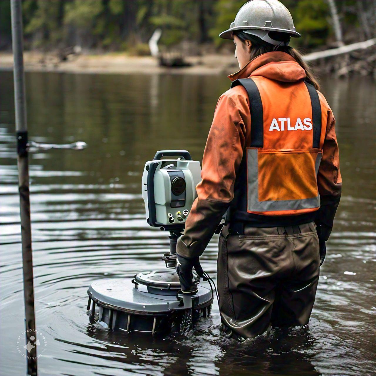
ATLAS GES provides comprehensive land and marine surveying services including aerial topographic surveys, utility location surveys, global positioning surveys, geographical information systems, and marine hydrographic surveys.
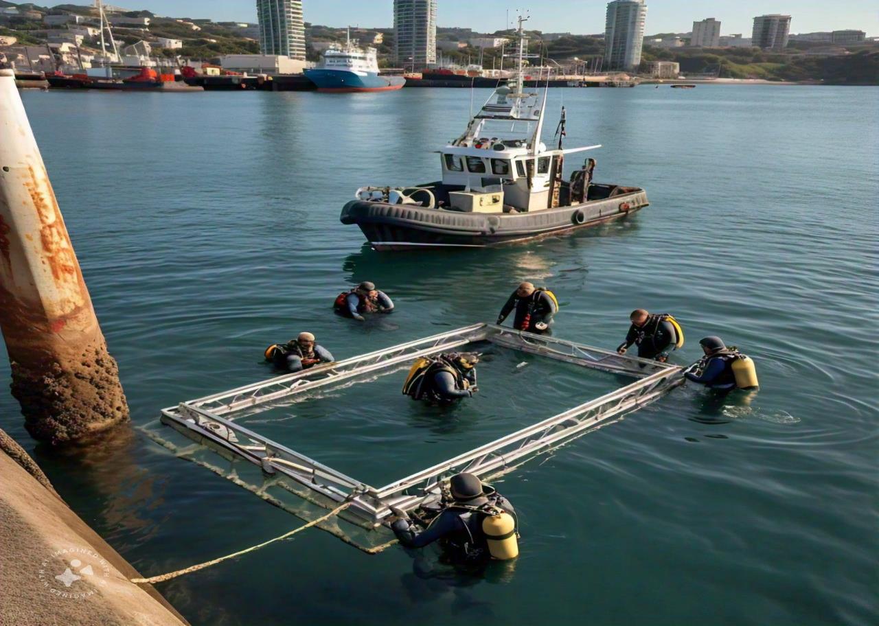
In association with our international partners, we deliver integrated hydrographic, topographic, and bathymetric surveys for projects ranging from coastal infrastructure to offshore developments.
Our survey teams are equipped with the latest positioning and measurement technology, ensuring the highest accuracy for engineering design, construction monitoring, and as-built verification.